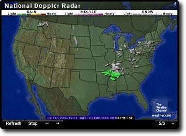
Cartographic animation is used to depict movement across lands or entities that would otherwise be very difficult to portray. These maps are typically seen on a computer or on a TV, where information can be continuously transmitted. A common cartographic animation is that of a radar or weather map. The animation shows movement of storms and cells across the country. If this map wasn't a frozen shot, it would show movement of the green mass of rain across the area. This map was taken from http://images.apple.com/downloads/dashboard/information/images/radarinmotion_20070608173303.jpg.
No comments:
Post a Comment