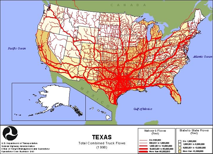
Unclassed choropleth maps are choropleth maps on a much larger scale; the scales are not small enough to depict an accurate numbers, but rather present it where much of the country or area falls in the same interval. This particular maps is both an unclassed choropleth map and a flow chart. The choropleth data presents the state to state flow of tons of truck flow, and the flow chart shows the flow of trucks out of Texas. The choropleth map has only 4 intervals, and most of the country falls under one color intervals. This map was taken from http://www.lib.utexas.edu/maps/texas/combtrk_tx_1998.jpg.
No comments:
Post a Comment