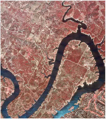
A DOQQ map stands for digital orthoquarter quads. These maps are delevolep from raster images from aerial photos. Depending upon the film used, they are presented in real or true color or false infared color. This particular picture above is a red colored DOQQ of a 500 year flood plain. The water is easily recongizable by the blue color. This image was taken from http://www.crwr.utexas.edu/gis/gishydro00/Class/trmproj/Donnelly/termproject.htm.
No comments:
Post a Comment