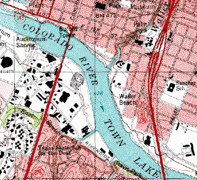
DRG maps are scanned topographic maps and are known as Digital Raster Graphics. These images include all the detail found on the topographical map. This map shows the Colorado River, which flows through Austin. This river should not be confused with the Colorado River that forms the Grand Canyon. The map also includes various locations along the River that help to distinguish the section of the River shown. These include Walter Beach, Riverside, Buford Tower, and Auditorium Shores to name a few. This map was taken from http://www.tceq.state.tx.us/gis/drg.html.
No comments:
Post a Comment