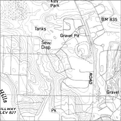
DLG maps are known as Digital Line Graphics; they show boundaries, roads, and other various information found on topographical maps. DLGs are a form of graphic information systems; a great deal of information this system is required in order to process DLG information. This particular map shows cartographic detail of Illinois. It displays gravel pits, sewage disposal, and roads. It was taken from http://pubs.usgs.gov/of/2003/of03-471/domier/index.html
No comments:
Post a Comment